
About BASIS

The Bay Area Spatial Information System (BASIS) is a new Data as a Service initiative operated by the Association of Bay Area Governments (ABAG) and Metropolitan Transportation Commission (MTC).
Managed by the Data and Visualization Team within the Regional Planning Program, the platform brings key regional datasets onto an industry-standard data service for download and API-based analysis.
This maintenance page preserves the public landing-page information while non-essential application services remain offline.
Key Benefits
A secure, accessible platform for the collection, standardization, discovery, and dissemination of key datasets used in regional planning efforts.
A documented, organized, and definitive source of regional data with a common framework for discussing future growth in the region.
System Architecture
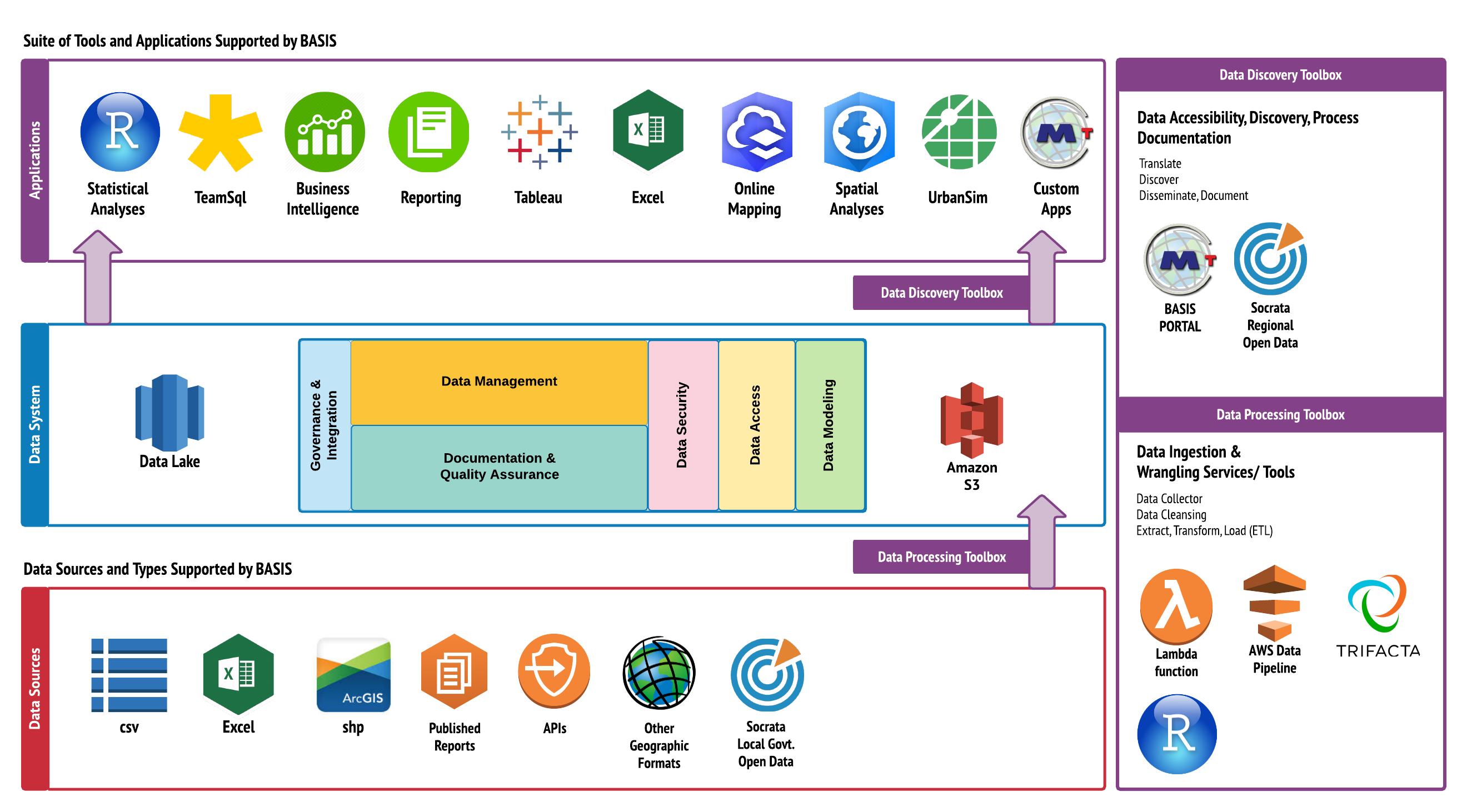
BASIS is designed around data collection, a structured data system, and applications that make the data discoverable and usable.
Data Categories
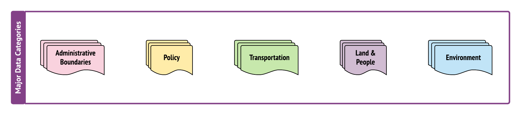
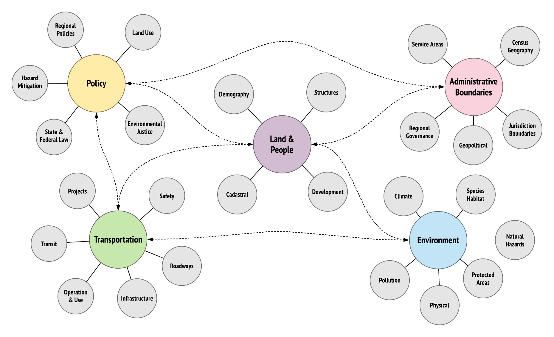
All data stored on the BASIS platform conforms to a shared conceptual data model.